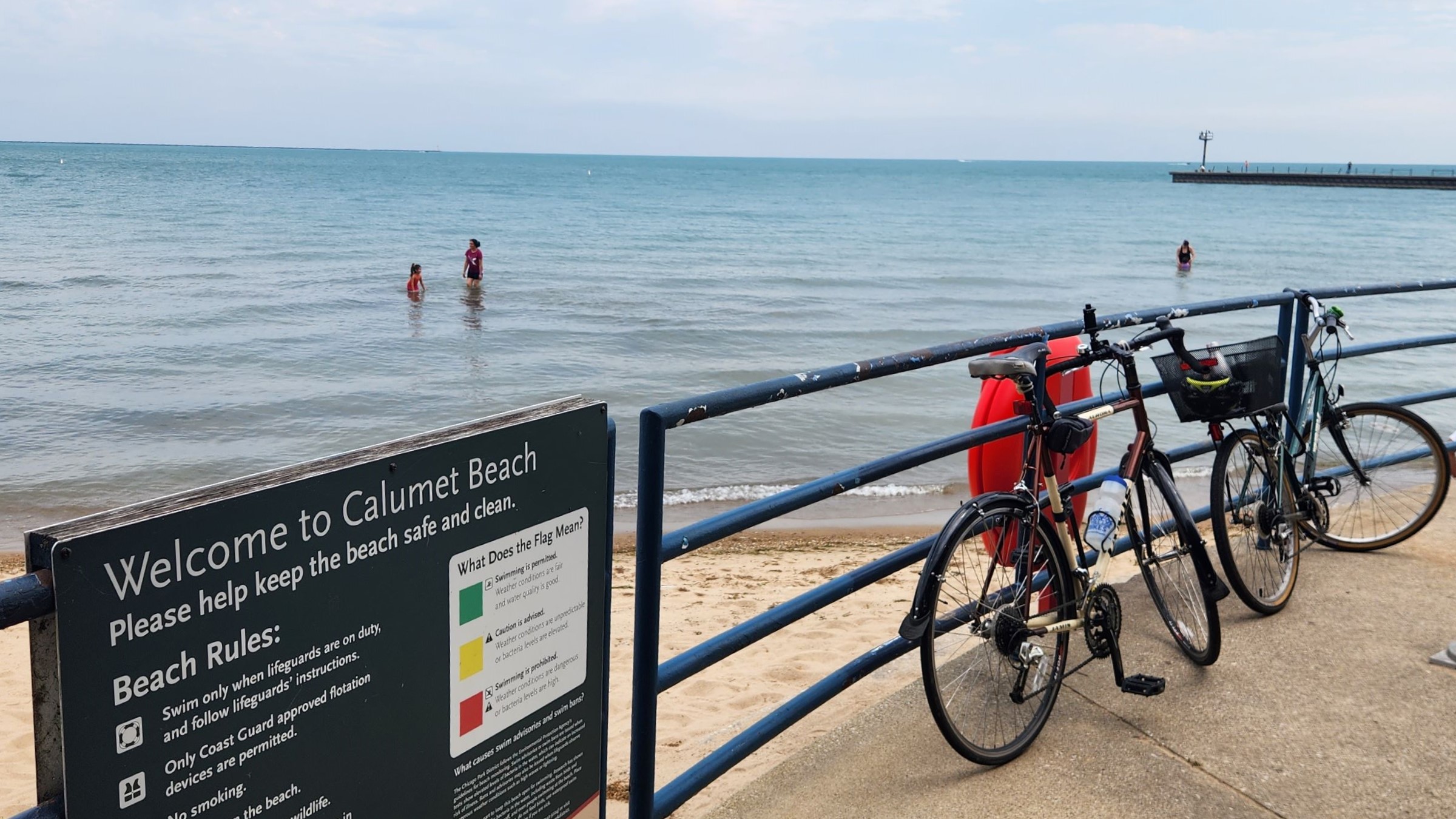
The Far Southeast Side's Disconnected Network of Public ParksChicago's Southeast side possesses a natural wealth of lakefront and wetlands. But bikers can't yet safely access it.by Rob Reid This scrolling map was published at Streetsblog Chicago in How can we better link the Far Southeast Side’s disconnected network of public parks?.
Countless drivers crisscross the rugged prairie of Chicago's Southeast Side, weaving around decaying steel mills, abandoned grain silos, landfills, and recycling plants. Traversing the Chicago Skyway, the Bishop Ford Freeway, or major thoroughfares like 130th Street and Torrence Avenue, motorists might not notice the lakefront beaches or wetland parks fashioned from former industrial sites reclaimed by the city in recent decades. They also might not notice the small number of people on foot and bike trying to find respite in these natural settings.
|